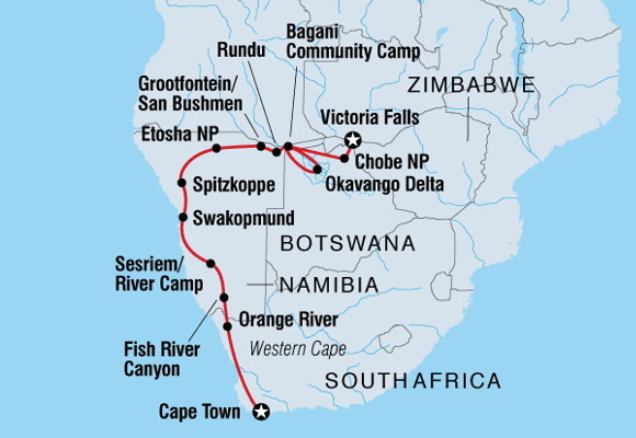
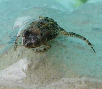
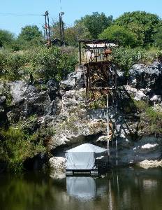
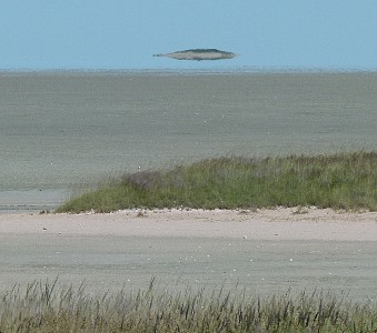
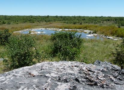
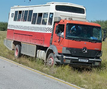
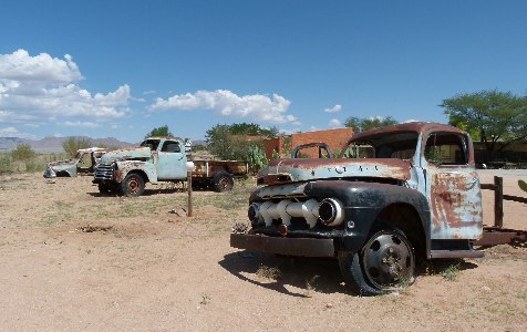
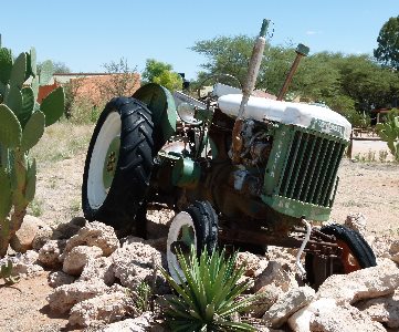
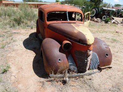
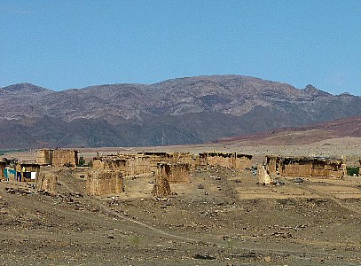
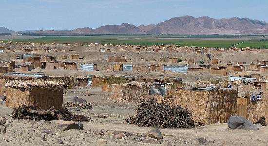
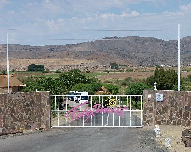
Our first stop after our visit to Angola was decorated with mechanical relics and a pool with frogs.
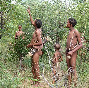
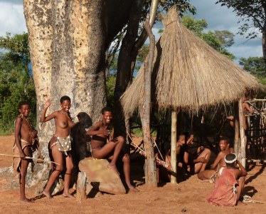
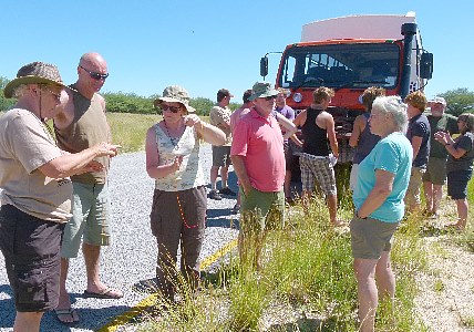
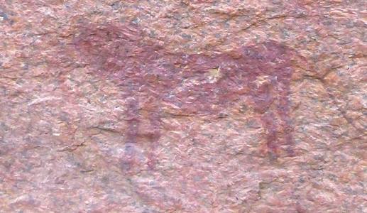
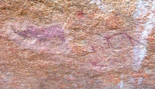
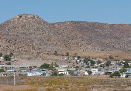
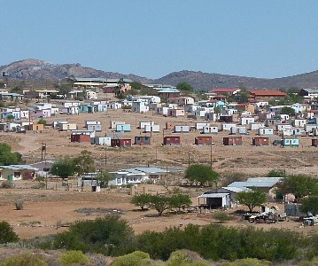
The recent rains had made the road to a San Bushman village a bit of a challenge.
We were able to make it and it was outstanding.
Just a couple of pictures because I have a whole page devoted to the people and village that you can see by clicking here.
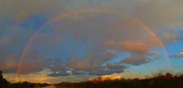
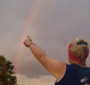
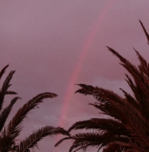
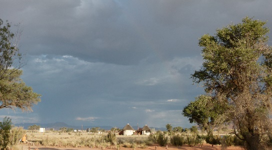
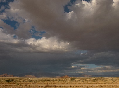
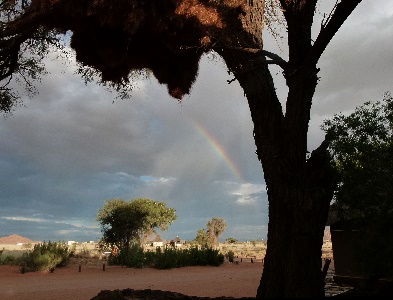
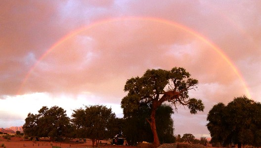
Not long after we left we were treated to a full rainbow and if you look very closely you may see that it is a double.
It seemed close enough to touch.
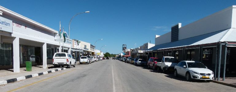
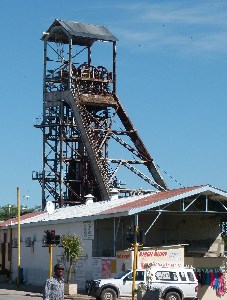
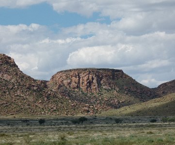
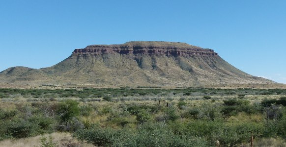
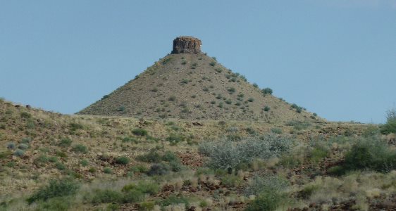
We stopped at Tsumeb to resupply.
In the middle of the town there was a hoist for a mine that has produced copper, lead, silver, gold, germanium, and arsenic.
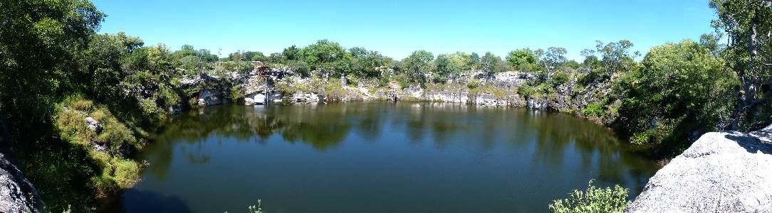
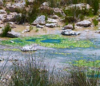
Otjikoto, one of the sinkhole lakes in the region.
During WW I retreating German forces disposed of canons, machine guns, and other weapons in the lake.
Some have been recovered and are on display in museums.
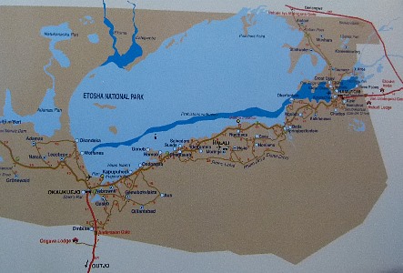
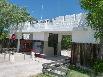
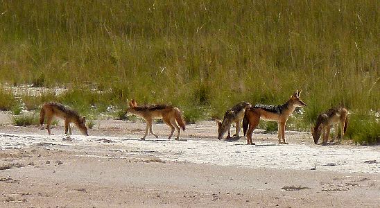
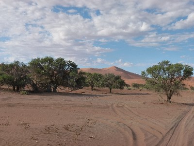
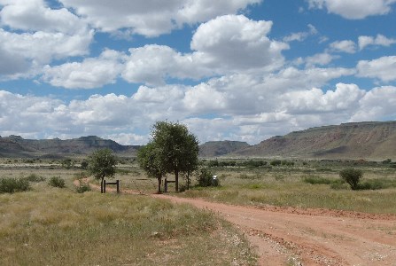
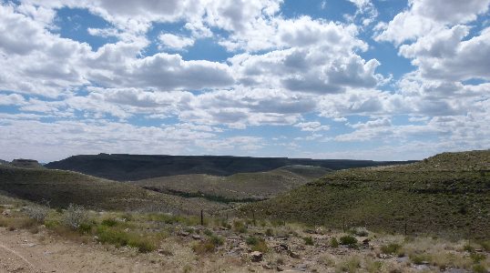
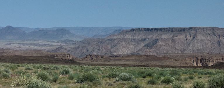
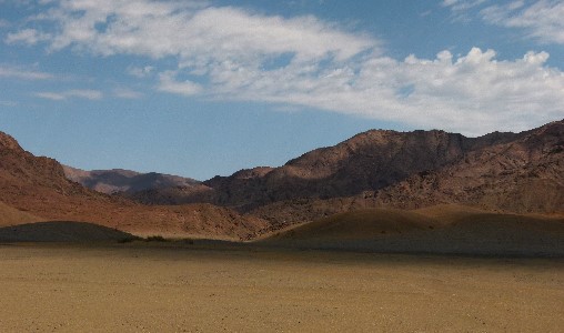
On to Namibia's Etosha National Park.
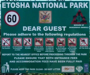
This sign warning against some obvious hazards: dangerous animals, feeding animals, bringing pets, open vehicles, motorcycles, ATVs, back of pickup trucks, hanging out windows or open doors, and driving after dark or off road is a no no.
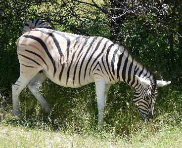
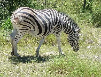
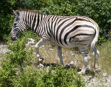
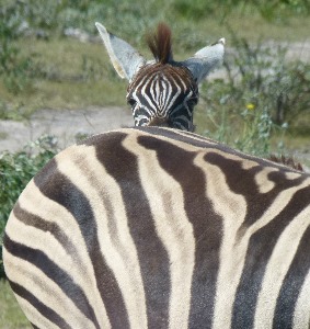
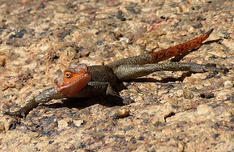
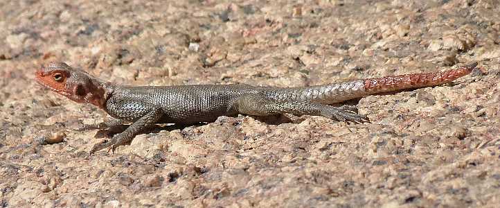
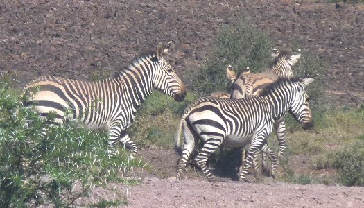
These Burchell's zebras have black, white, and gray stripes.
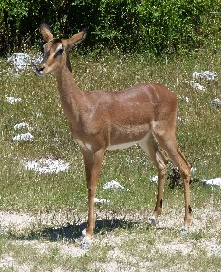
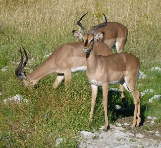
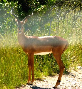
Black faced impala.
There only about 1000 of these in the world according to Wikipedia.
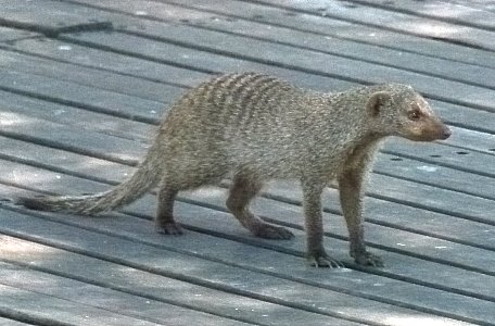
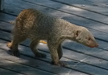
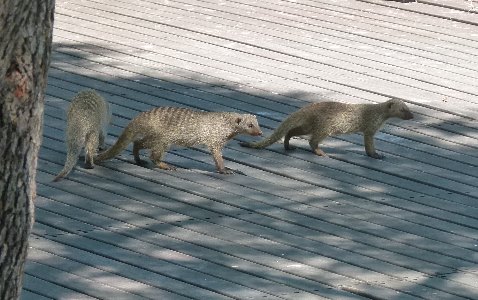
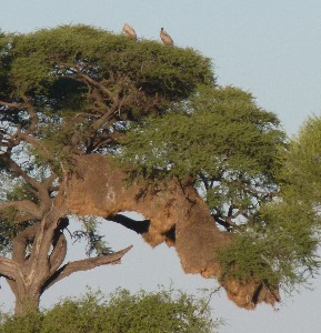
Banded Mongooses on the deck near the Oboma Bush Bar
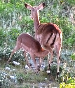
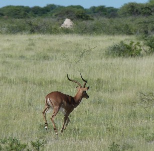
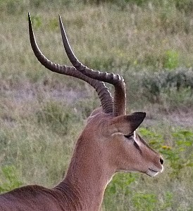
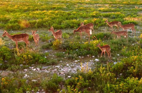
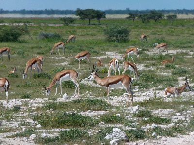
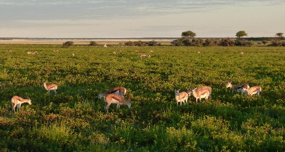
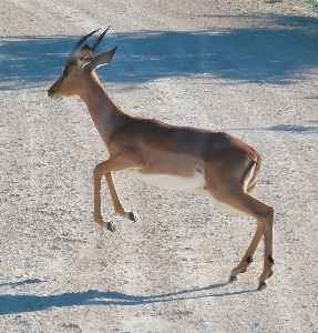
We saw common impala throughout the park
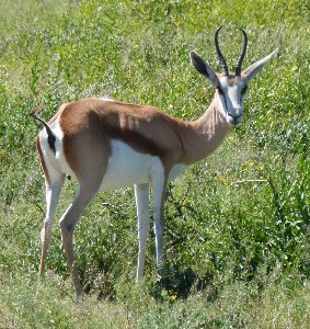
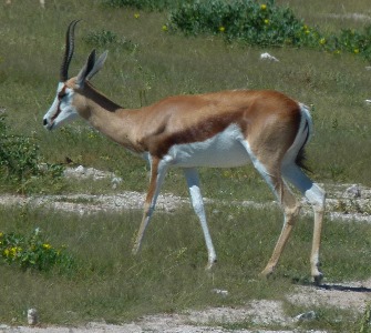
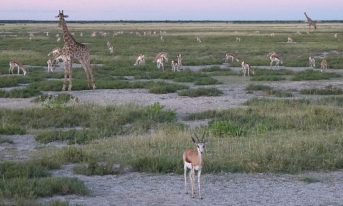
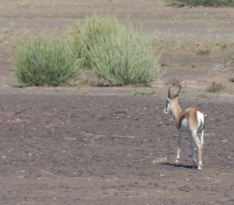
And springbok.
The form of the horns, the dark stripe on the side and no "M" on the rump are the distinguishing characteristics.
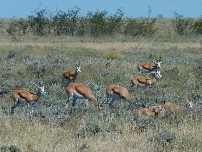
Grazing late in the day.
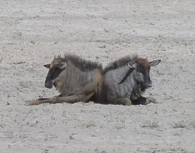
 ,
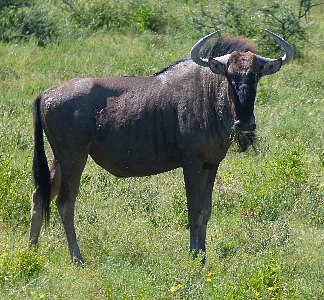
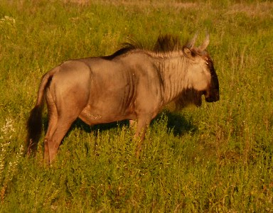
,Blue Wildebeest
We spotted this solar panel in the middle of nowhere.
During the dry season solar powered pumps provide waterholes for the wildlife.
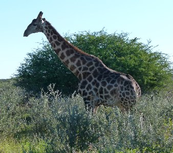
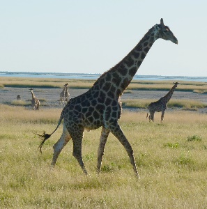
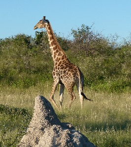
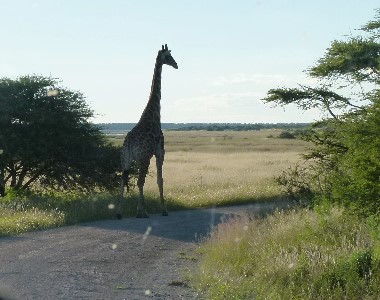
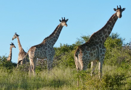
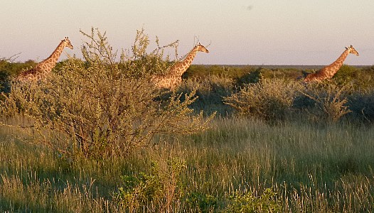
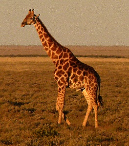
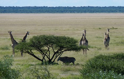
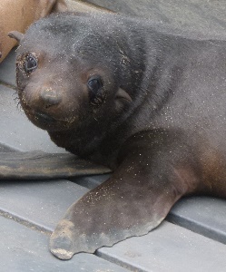
Giraffa camelopardalis angolensis also known as an Angolan giraffe
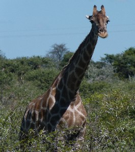
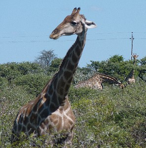
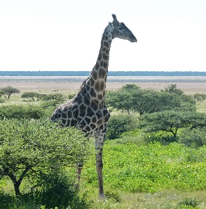
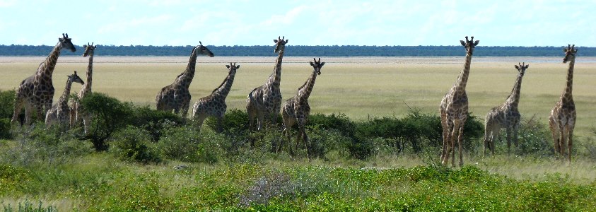
We saw more than 100 giraffes in one day in the park.
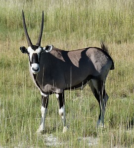
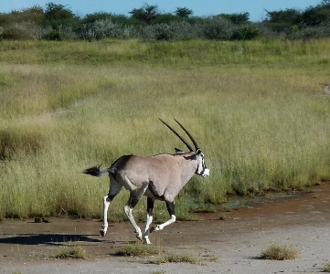
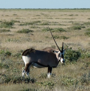
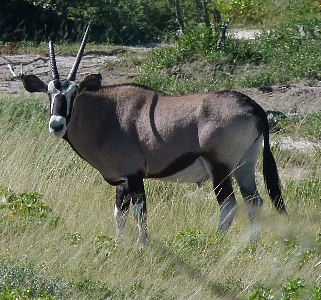
Gemsbok, a type of oryx.
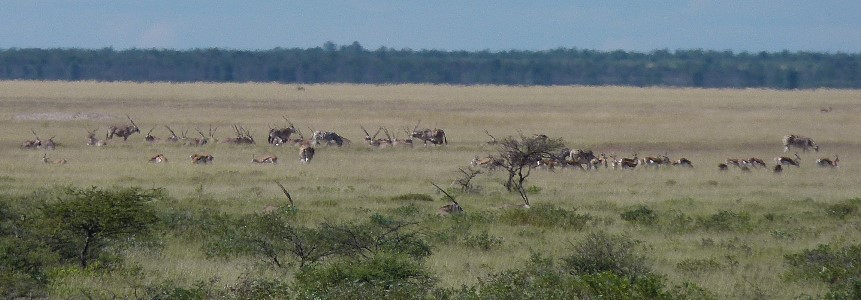
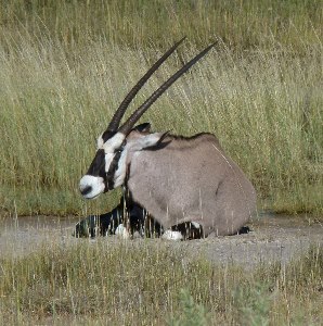
Losing a horn seems not uncommon.
These two trying to impersonate Dr. Dolittle's Pushme-pullyou
And one with some giraffes.
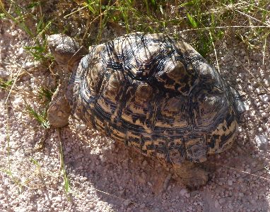
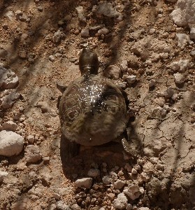
We didn't see a leopard here but we did see several Leopard tortoises (Stigmochelys pardalis)
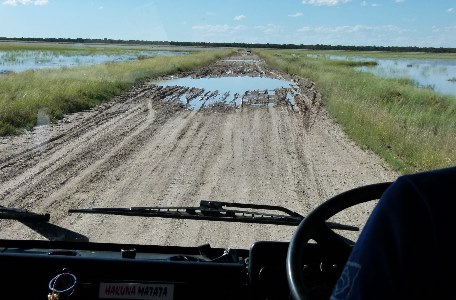
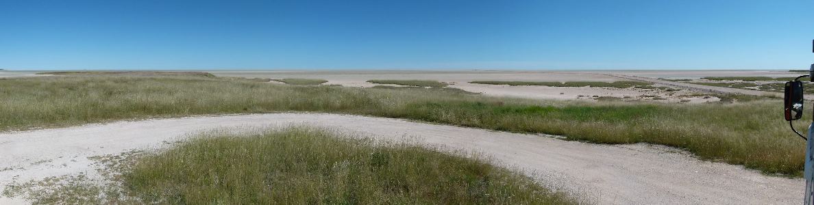
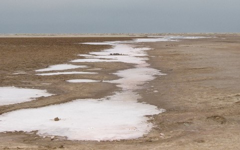
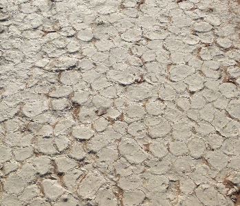
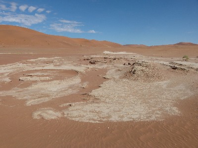
When the rains come the salt pan becomes a salt lake for a month or two.
Most of the road is barely above the lake level (occasionally below it in places.)
Black rhinos (Diceros bicornis) are critically endangered
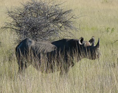
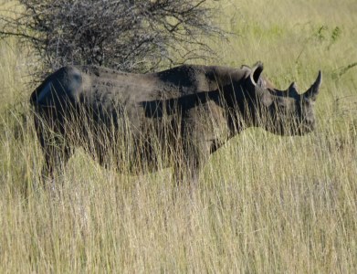
Rhino race
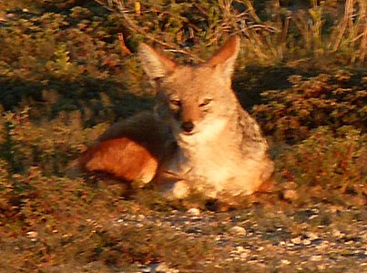
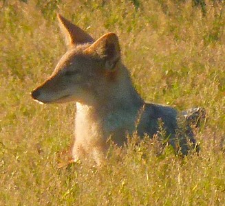
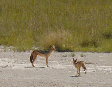
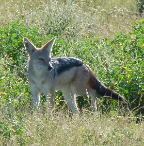
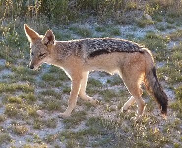
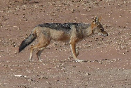
A jackal didn't seem to be concerned when he came right next to the truck.
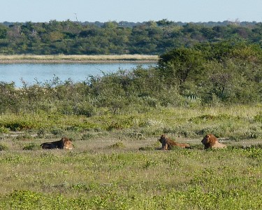
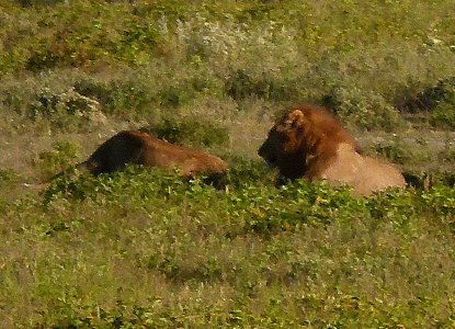
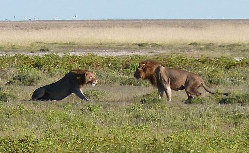
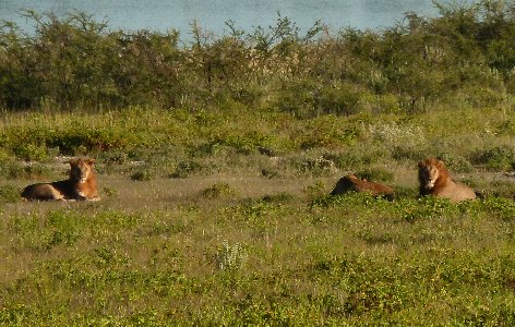
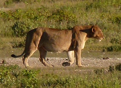
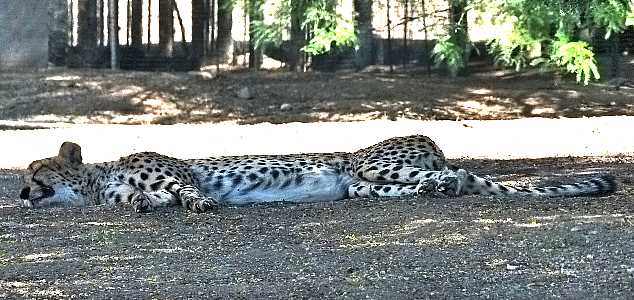
Lions taking it easy.
They look well fed.
Black face impala
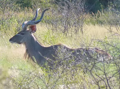
Kudu
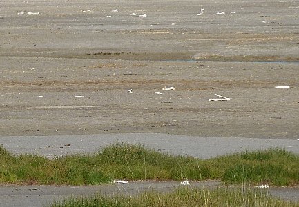
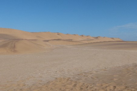
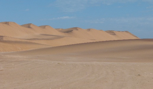
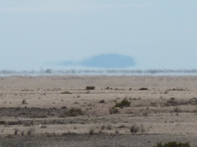
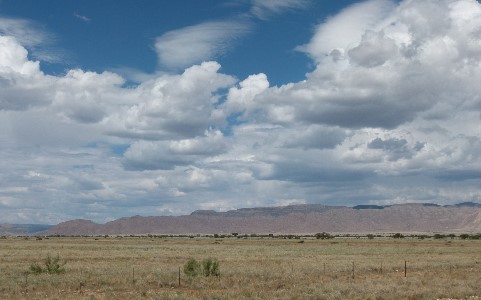
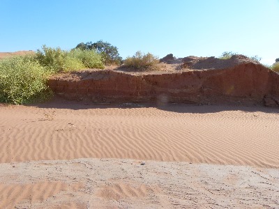
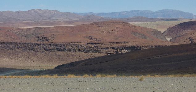
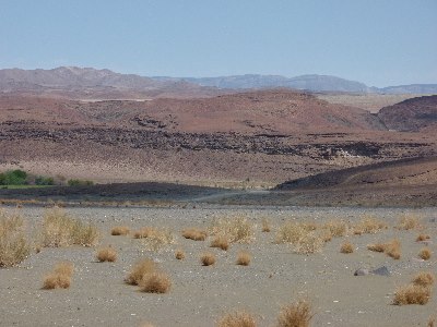
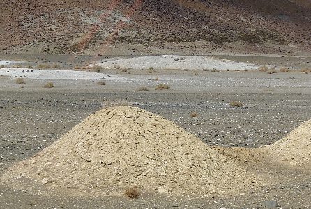
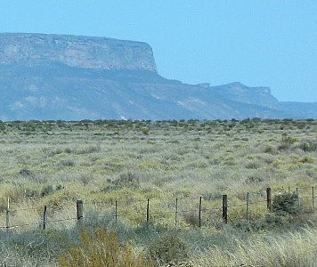
Looking out across the Etosha pan salt flat.
With bones of animals who didn't survive.
We saw mirages of hilltops and ridges floating above the surface.


Looking the other way there were grasslands to the horizon.
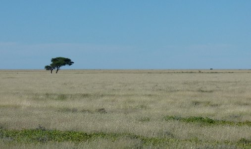
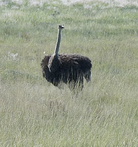
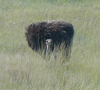
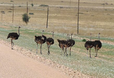
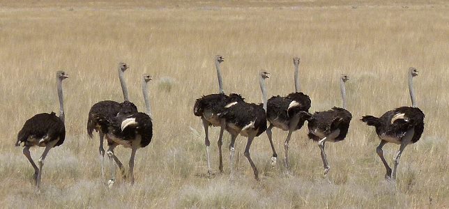
And in those grasslands, ostriches.
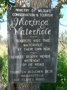
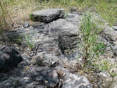
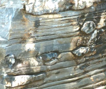
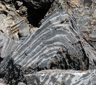
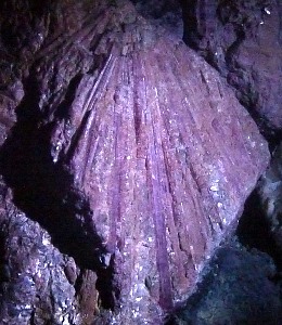
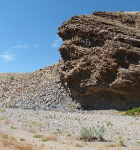
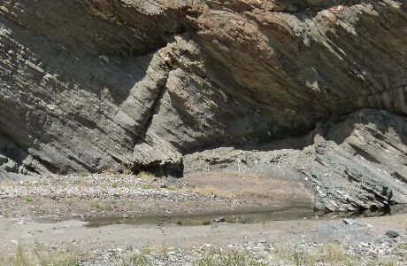
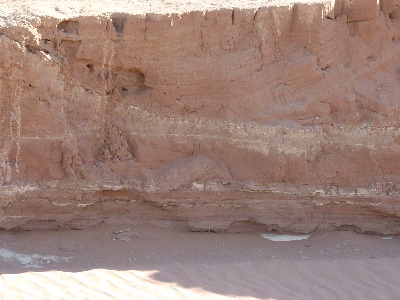
Some interesting layered and folded rock formations on the trail to the Maringa waterhole.
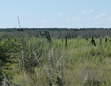
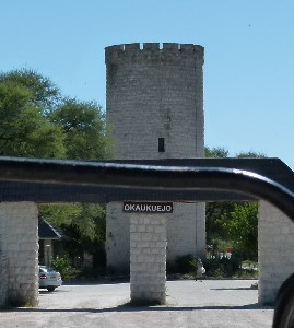
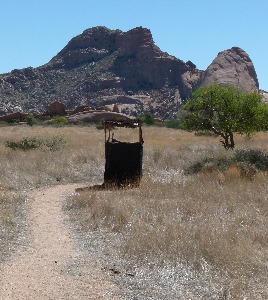
The entrance to one of the campgrounds where we stayed.
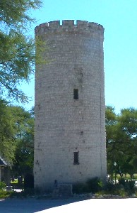
And a better shot of the observation tower.
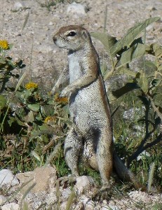
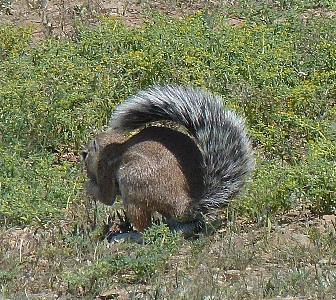
Not all of the animals were huge or otherwise dangerous.
This is an African ground squirrel, a lot like the American prairie dog.
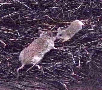
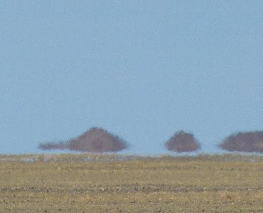
And these mice were cohabitating with social weaver birds in a huge nest
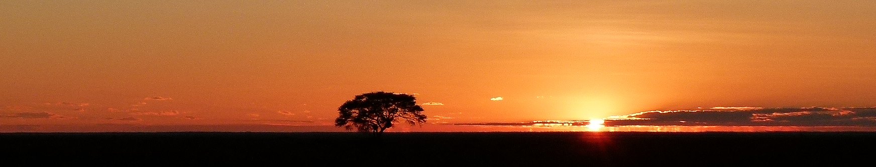
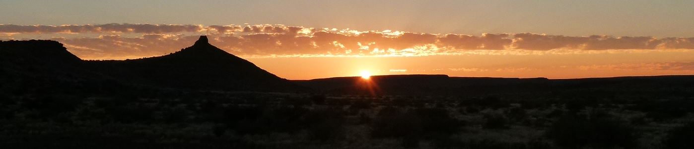
Sunset in Etosha.
In the morning further southwest across Namibia where we met another Dragoman group taking the tour in the opposite direction.
We stopped and compared notes and exchanged string figures.
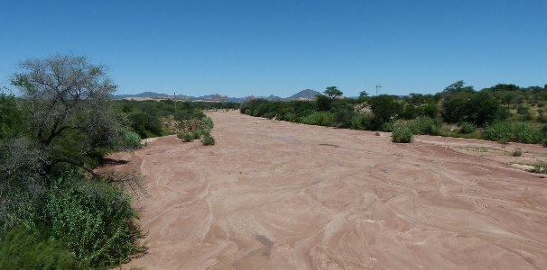
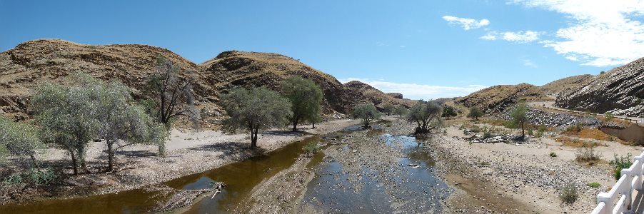
On the move again, we crossed several dry stream beds.
The rain must come hard on occasion.
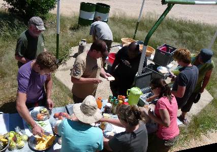
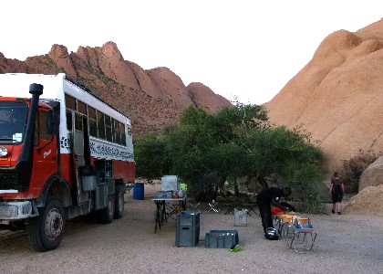
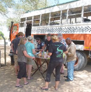
Lunch stop with folks pitching in to help with preparation.
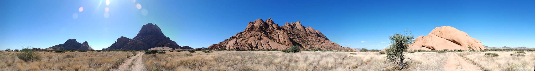
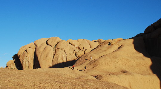
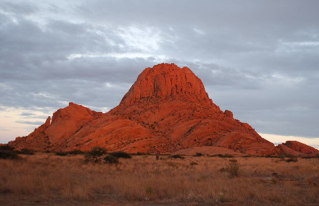
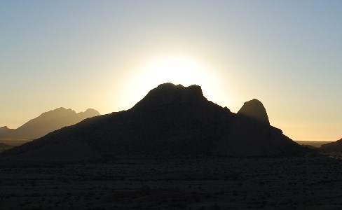
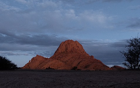
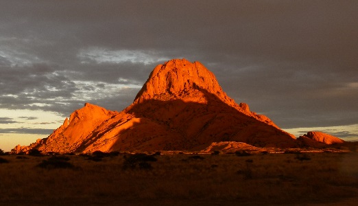
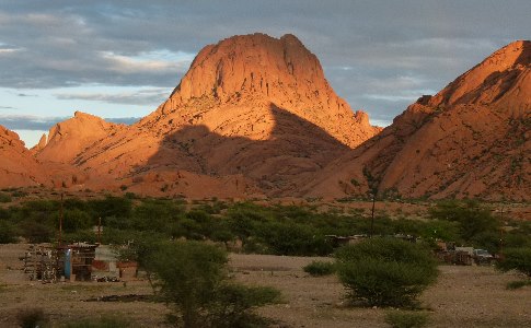
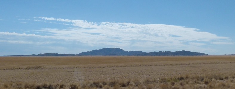
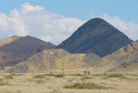
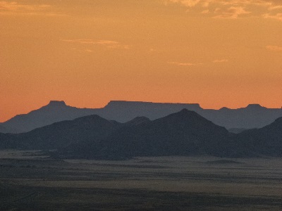
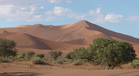
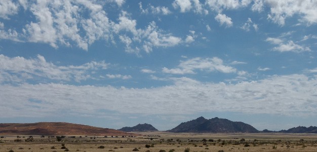
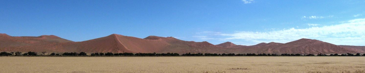
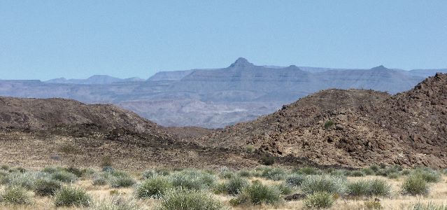
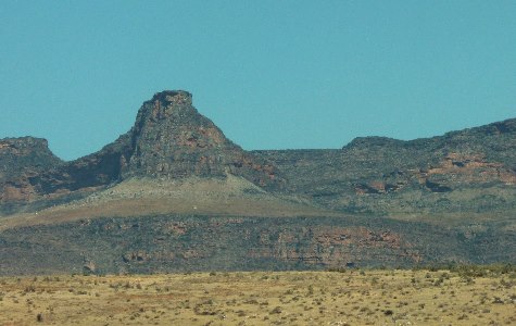
The landscape started to change again as we approached Spitzkop also called the "Matterhorn of Namibia"
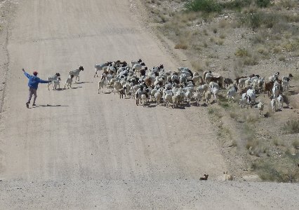
A herd of goats crossing the road when we came along.
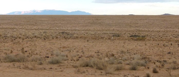
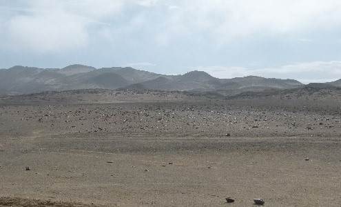
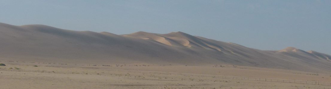
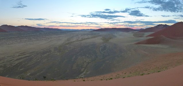
Now we are in the Namib the driest desert in Africa with parts getting only 2 mm of rain a year.
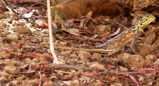
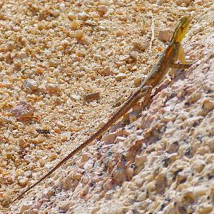
Wildlife consisted of lizards and a few birds around our camp.
It was a dry camp with only the essential facilities
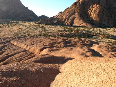
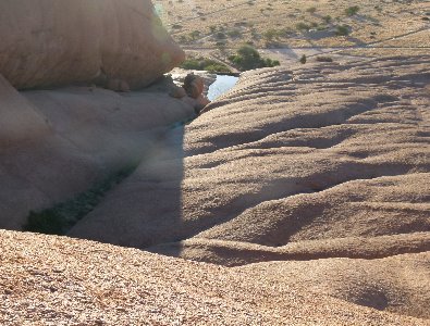
The bald granite peaks make for interesting surroundings and even more interesting climbing.
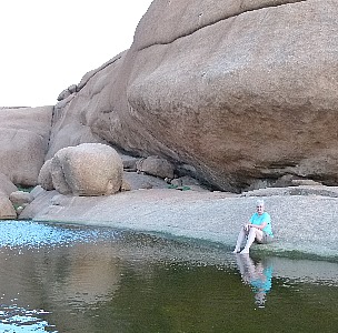
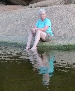
Someone had built a little dam blocking a crevice in the rock.
The large catchment meant that even a little shower would fill it making for a refreshing stop.
We were surprised to find it was teeming with little creatures that we think were triops.
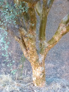
A strange tree growing in a protected rock crevice where it gets more water than it would elsewhere.
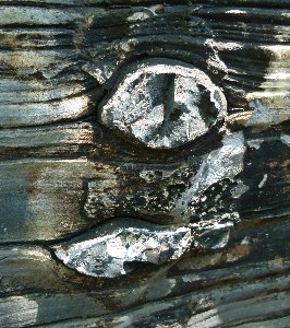
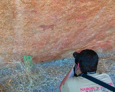
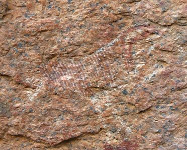
Some of the rocks had sheltered locations where we found petroglyphs some thought to be 6000 years old.
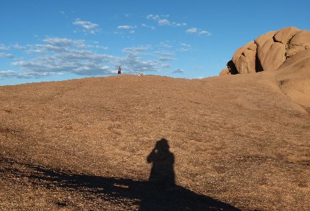
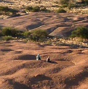
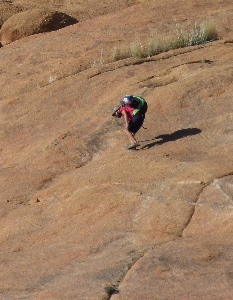
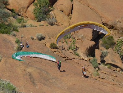
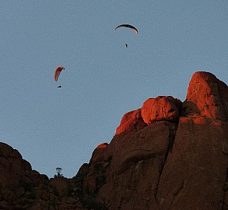
While we were hiking we noticed some climbers on the rocks carrying what appeared to be large packs.
Then they unpacked these parasails and took flight.
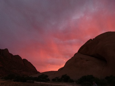
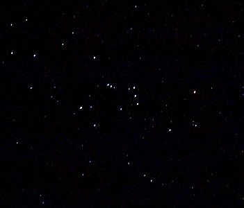
As it got dark we were treated to a view of the night sky that you can only see if your are in a desert miles from any town.
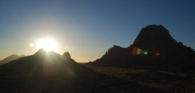
We were up for sunrise the next morning.
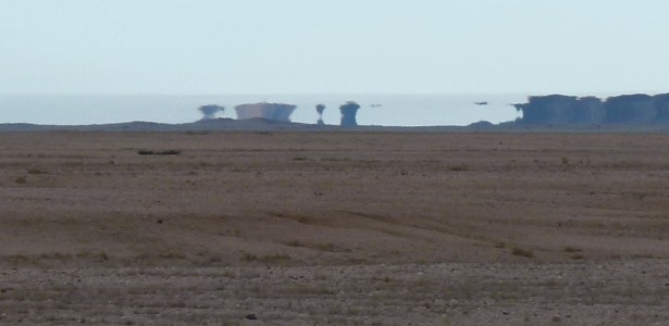
Then on across an even dryer area of the desert.
Then more mirages as the day got hotter
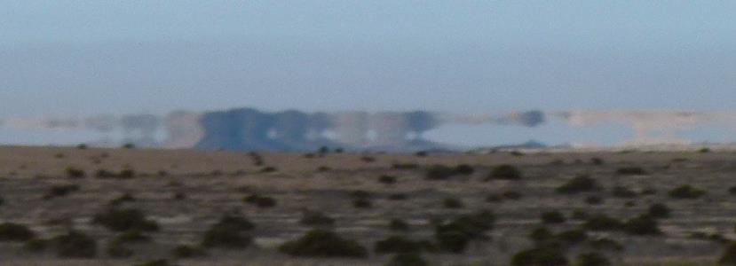
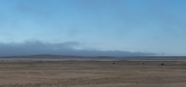
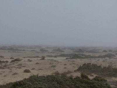
As we approached the coast the sea breeze brought a fog bank that we could see in the distance and then were in.
Anything beyond a hundred feet or so disappeared.
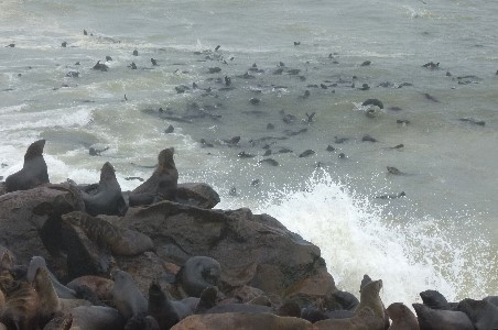
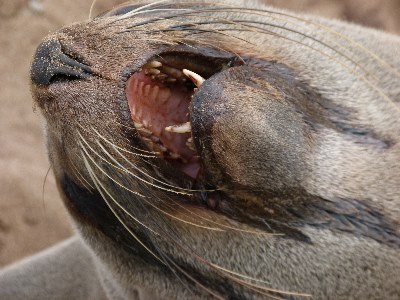
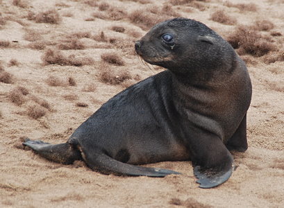
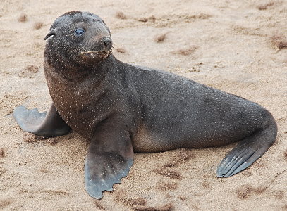
Then we were on the coast with thousands of Cape Cross Seals.
They are technically sea lions but have been called seals since the colony was first discovered hundreds of years ago.
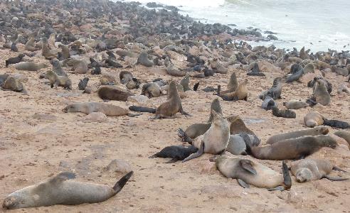
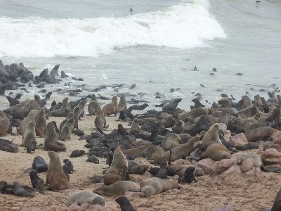
Playing and scratching.
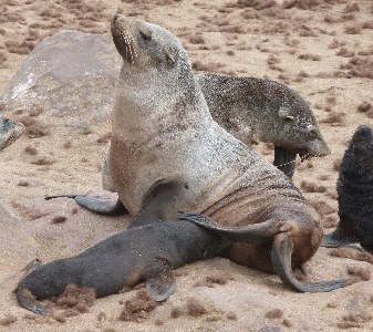
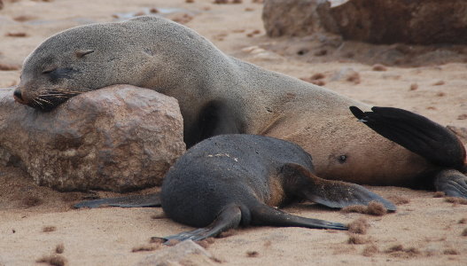
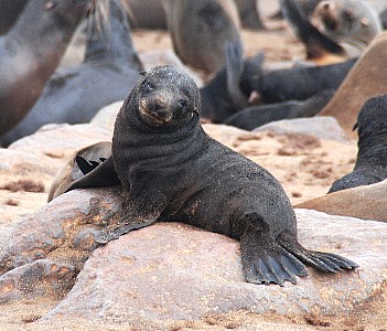
We were there just after the birth of many cute pups.
Humans are restricted to a boardwalk so as not to disturb them.
However, they have no restrictions so you will find that you have to step carefully at times to get past.
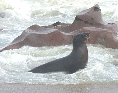
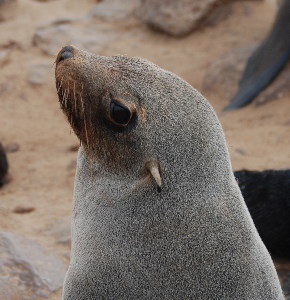
Further down the coast at Walvis Bay we were privileged to be able to paddle our kayak with the Cape Cross Fur Seal colony there.
When we first approached they stayed at a distance but gradually they came closer and one began investigating my paddle.
Then another started checking on a rope that was trailing from our boat.
While I was recording they even grabbed the strap on my camera. Not hard enough to take it from me but more of a playful tug.
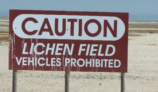
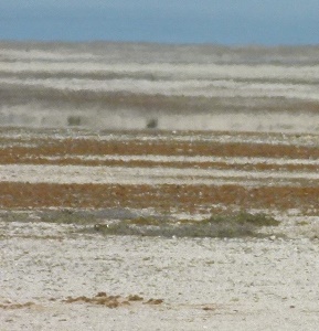
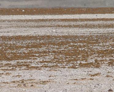
Not much can survive on this rocky bit of the coast except for lichens that serve to stabilize the surface and prevent erosion but which grow really slowly.
Vehicle tracks can take decades to regrow so large areas are protected.
Don't even take a pebble if you know what is good for you.
Occasional storm tides result in areas of salt deposits along the low areas of the coast.
No problem here at Henties Bay.
View from the top and looking up from the beach.
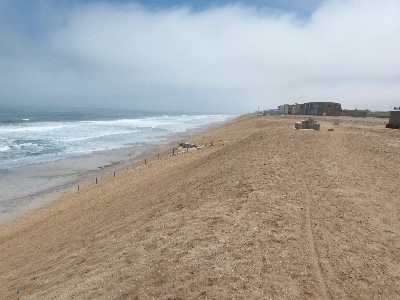
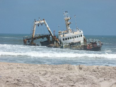
The northern part of the Namibia shore is known as the Skeleton Coast of Namibia was said to have been named for the whale and seal bones that littered the beaches.
Though the hulks of more than 1000 ships that have run aground leaving their crew stranded on one of the most inhospitable coasts in the world may have something to do with it.
A lot less of a problem in modern times but ships are still lost along this stretch.
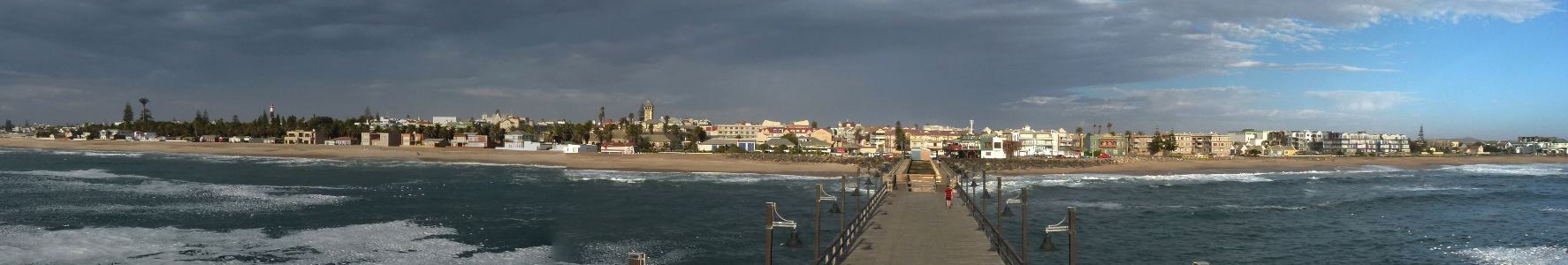
Swakopmund a modern city with lots of possible activities.
This is where we went sea kayaking with the seals and sandboarding.
We didn't have time for quad biking, seal and boat cruise, or skydiving.
We did have some good seafood, this picture was taken from a restaurant on the city pier.
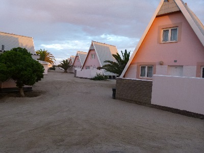
Plush accommodations for our stay.
Things have been getting a lot more civilized as we have traveled south.
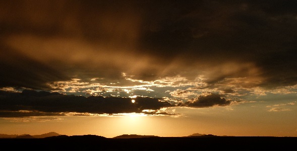
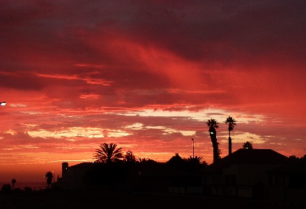
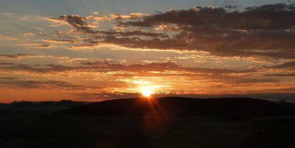
Toward the ocean there were beautiful sunsets.
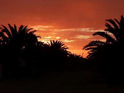
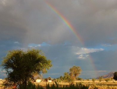
Looking toward the desert we saw yet another rainbow as the sun was setting behind us.
Most businesses had obvious security.
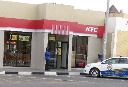
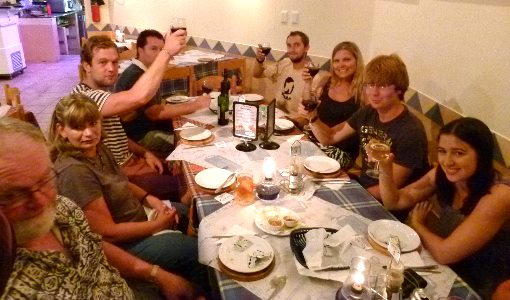
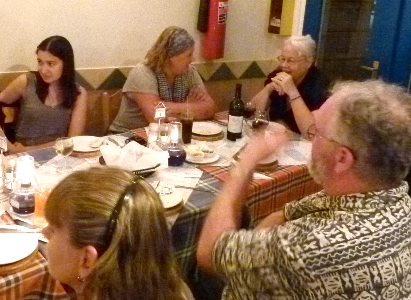
Dinner with friends (not at KFC).
Great seafood, Nancy and I had calamari steaks, wish we could get them somewhere around here.
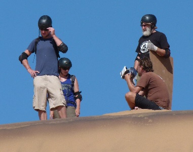
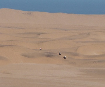
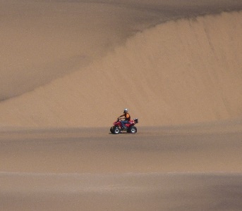
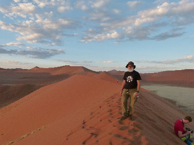
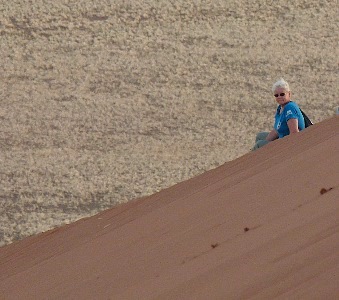
Marielle, Arron and I had a blast when we went sandboarding.
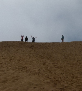
First we got to enjoy the dunes on foot.
Including the climb to the top.
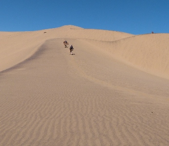
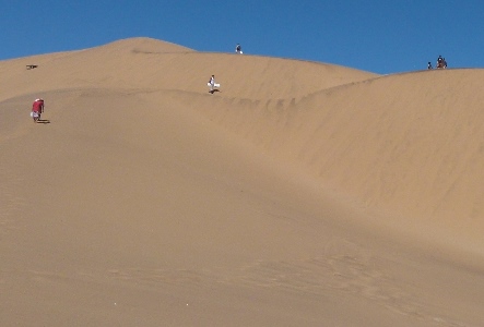
Yes, they were big.
That dot at the top is us.

But we weren't there just for the view.
We were about to go start our descent which should explain the protective gear.
It is a lot like sledding but the "snow" is harder, more abrasive and hot.
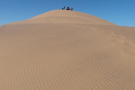
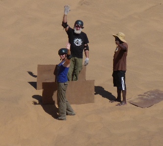
We took several runs along progressively more ambitious tracks.
Here is the view from the top of our team following two of the runs.
Here are some of our runs.
We were airborne as we went over some bumps.
On one run we were clocked at over 69 kilometers per hour.
Not for the faint of heart.
I had a mini video camera strapped to my helmet to record my descent.
I generally forgot about it so there were some quick changes in view and the ride was bumpy so the video was very shaky.
I ran it through a program to get rid of some of the worst of the problem but a lot remains.
The processing created some strange manipulation of the time stamp at the bottom of the image.
The noises you hear me make are because of the impact when I hit bumps.
Even going over footprints shakes you up.
We made it.
Meanwhile on another dune some of our group was Quad biking.
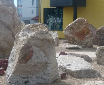
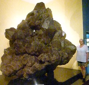
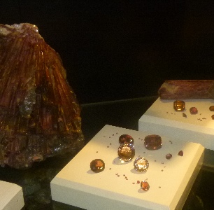
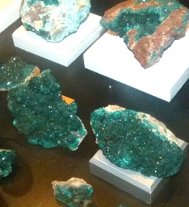
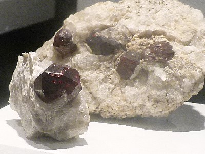
Kristall Galerie has some huge crystals and gemstones.
Nancy is standing beside the largest quartz crystal cluster on display anywhere in the world.
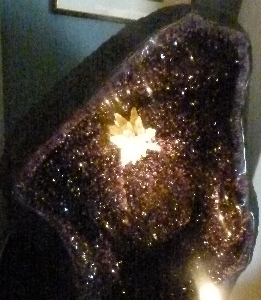
The next picture is of a geode big enough to sit in.
A sculpture displaying the natural colors of minerals: beak orange calcite, tail and neck cream dolomite, body and wings black chalcedony.
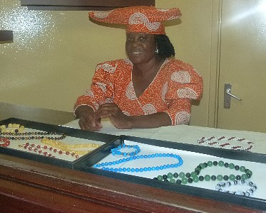
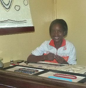
These ladies were assembling jewelry to be sold in the museum shop.
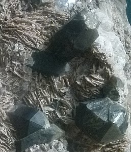
Some of the gems on display: rubellite and tourmaline.
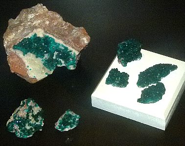
Vivid green dioptase.
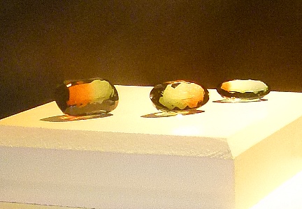
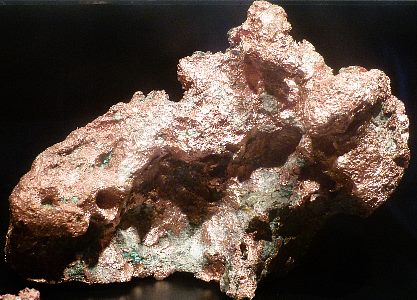
Natural tourmaline and a copper nugget.
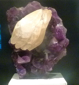
Amethyst with calcite and a polished crystal in it's matrix.
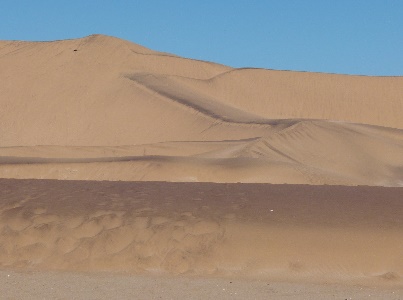
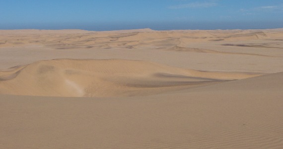
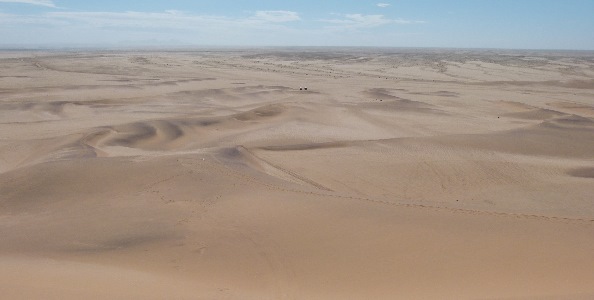
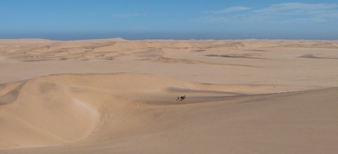
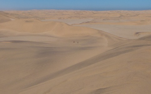
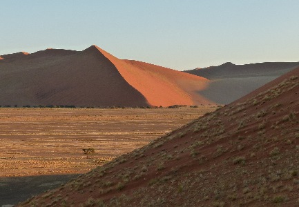
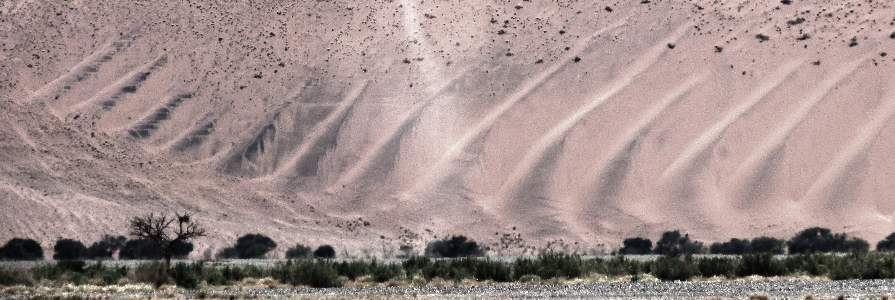
Moving on down the coast more dunes.
It would be very difficult to eek out a living there which is probably part of the reason it has such a low population density.
Only one country, Mongolia, has fewer people per square mile.
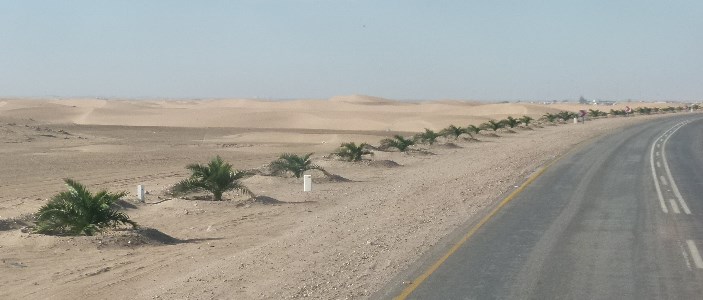
All of these palms are individually irrigated.
Hey, more mirages.
The landscape is changing.
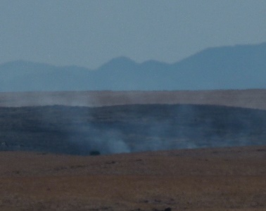
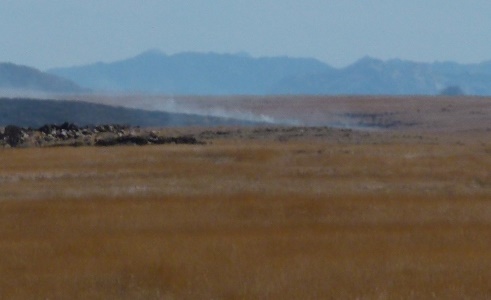
Still not much growing.
But enough to support grass fires.
Apparently there is no reason or inclination to put them out.
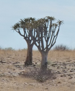
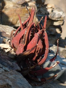
A quiver tree, it is used by bushmen to make quivers for their arrows.
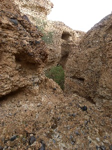
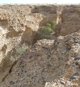
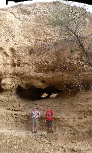
During WW II two German geologists Henno Martin and Hermann Korn, lived for 2 years in this rocky gorge successfully avoiding capture.
They were forced to return to civilization in Windhoek when Korn contracted beri-beri.
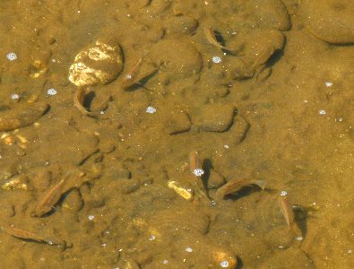
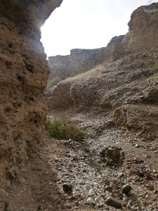
A stream with a few fish when we reached the bottom.
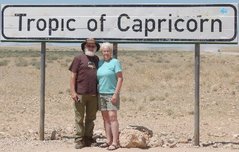
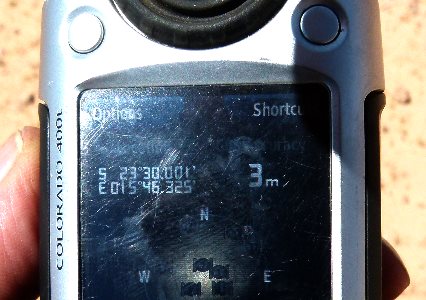
We are moving south.
The sign was almost exactly on the line.
We saw these patches in the fields along the road.
They were rings of plants around a circle of barren ground.
They ranged from a foot to about 10 feet in size.
I have no idea what caused them if you do please send me a note.
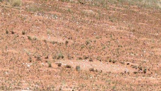
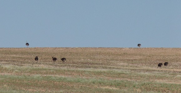
We started seeing ostriches.
Should I say flocks or herds of them?
Another lunch along the road.
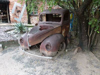
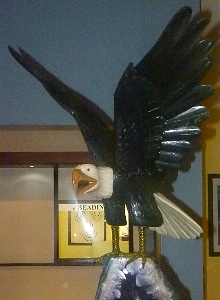
And another business decorated with old vehicles.
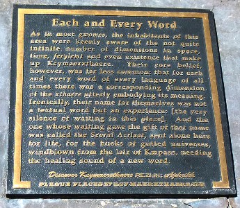
I mistook this brass plaque as a recounting of some local tradition or myth resembling in some ways the Dreamtime of the Australian aborigines.
It begins:
"As in most gwomes, the inhabitants of this area were keenly aware of the not quite infinite number of dimensions in space, time, ferylemt, and even existence that make up Kcymaerxthaere. Their core belief however was far less common: that for each and every word in every language of all times there was a corresponding dimension. ..."
When I checked however I found that it was and "art" project by an American film maker with installations like this all over the world. I wonder if he is to trying to follow the trail to a new mythology on which to base a religion like L. Ron Hubbard and others throughout history have done or would admit he was just playing with a fictional universe while making fun of the others
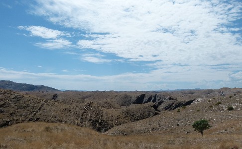
The country is changing again.
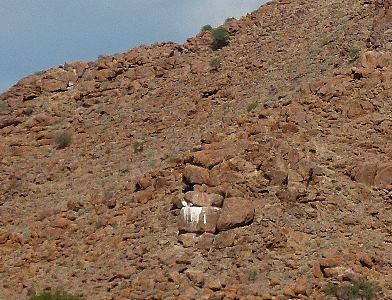
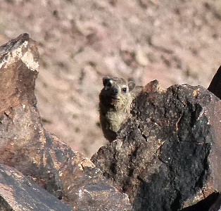
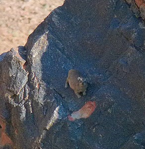
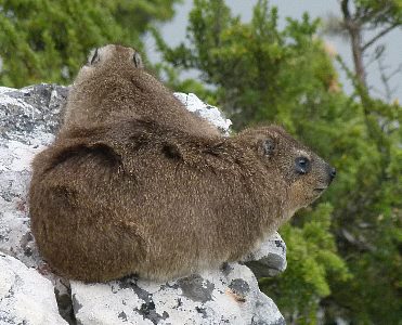
The white blaze on the rock marks the home of a hyrax.
As we made our way south the following notices were posted in the truck.
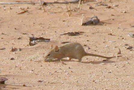
One of the smaller of the animals we encountered, a South African striped mouse.
The stripe along the center of the back is barely visible.
Sesriem canyon is a natural canyon (about .6 mile, 1 km long, 100 ft, 30 m deep and only 7 ft, 2 m wide in places).
The name means 6 belts because settlers had to attach straps made from the hides of 6 oryx for their buckets to reach the water at the bottom.
Several of us walked/clambered down to investigate how the water had carved the conglomerate rock.
But we made a hasty retreat when we heard thunder that could have portended heavy rains which could quickly flood the canyon.
The rain turned out to be light so there wouldn't have been a problem.
A natural sculpture at the bottom.
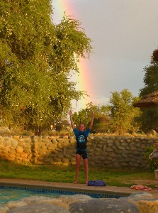
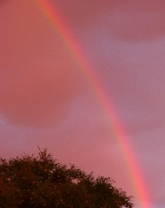
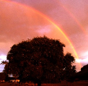
The heaviest rain stayed in the distance and treated us to a succession of rainbows as we made our way to that evening's camp.
We enjoyed the pool and this young camper decided to try to catch the rainbow.
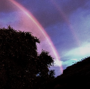
The sun was getting low so the clouds and rainbows were constantly changing with sunset red becoming predominate.
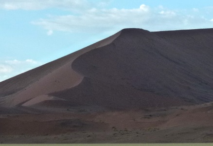
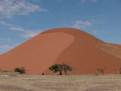
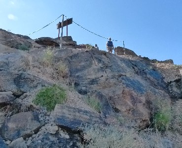
The next morning we climbed to the top of Dune 45 for the sunrise.
This panorama shows people climbing at the left and resting at the top on the right.
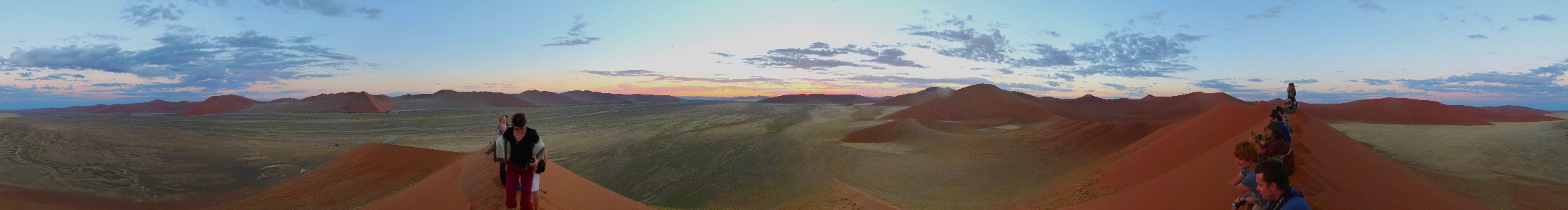
A hard climb but worth it.
Looking the other way the dunes and mountains were stil in the shadow of our dune.
I waited until I was alone at the top.
Nancy stopped part way down for me to catch up.
We watched as the dunes in the distance were illuminated as we descended.
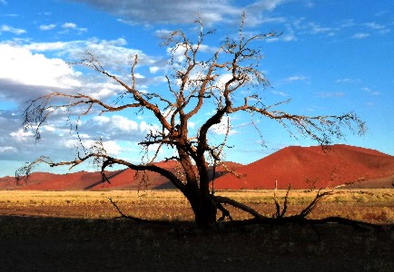
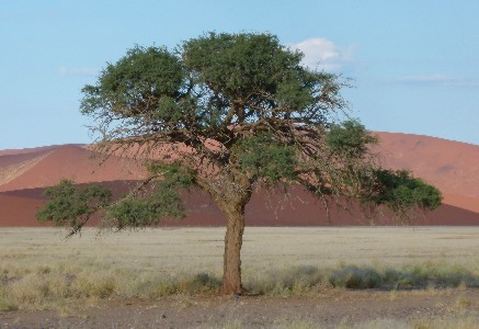
It is a hard life for a tree in this part of Namibia.
Some do make it though.
More sand sculpture.
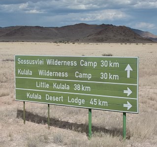
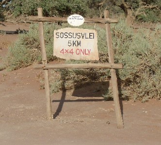
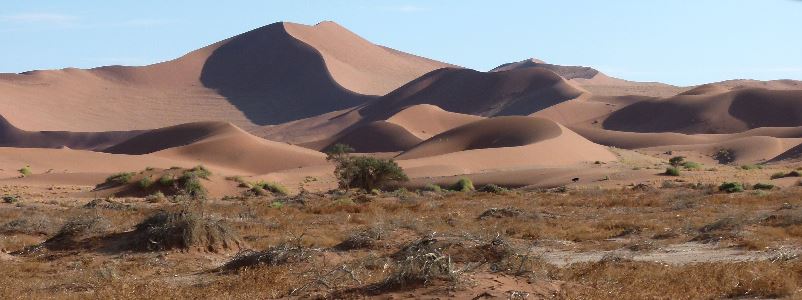
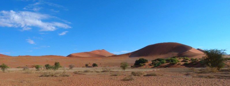
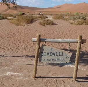
On to Sossusvlei.
The name is of mixed origin, and roughly means "dead end marsh".
Vlei is the afrikaans word for "marsh", while "sossus" is is the Nama word for "no return" or "dead end". it is a drainage basin without outflows for the ephemeral Tsauchab River.
After a drive over a track of soft sand and a bit of a hike we came to this flat area of dry patterned deposits.
Nearby we could see that layers of sand and pebbles had been cut away by water that flows here on rare occasions.
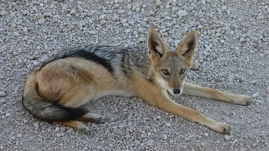
This black-backed jackal looks like hunting has been good.
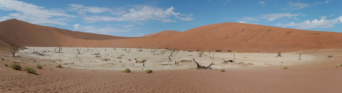
Deadvlei is a clay pan fully cut off from the stream that originally produced it.
It sits in a circle of very high dunes (arguably higher than others we had climbed) which we had to cross to reach it.
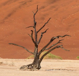
These acacia trees died 900 years ago, were buried by the dunes, then exposed again, and now have been burned black by the sun
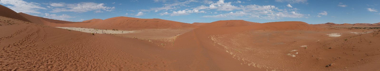
Nearby were other unnamed pans.
And some strange dune formations.
The sweeping curves provide natural art.

Headed back to camp.
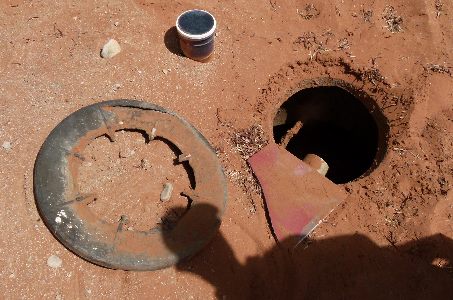
The next morning before sunrise I was making my way across the campsite and stepped on a plastic lid covered by an inch or so of sand.
The center of the lid broke out leaving the ring you see in the picture.
The lid was covering part of the septic system.
I managed to not fall in but I did scrape up my leg and dip my foot.
There was some concern about infection but I cleaned everything up and all was well.
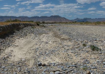
Another dry wash attests to the flooding that occasionally hits this desert.
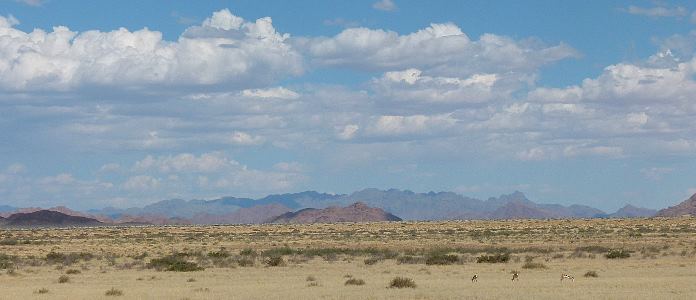
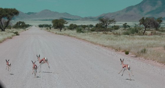
This herd of springbok joined us on our trip.
We were going about 45 miles per hour (70 Km/h) and they had no trouble staying alongside.
Near the end of the video clip one put on a burst of speed and got ahead of us.
There was a fence parallel to the road which was intended to keep wildlife out of traffic but in this case it restricted their escape path so we got a good look at them..
It started to look like range land where a rancher could make a go of it.
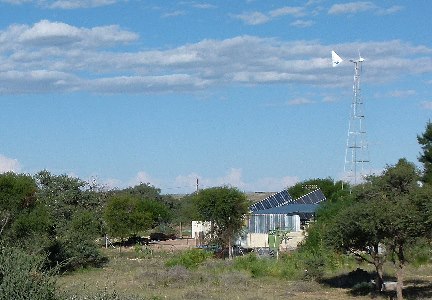
We saw this homestead.
It was self sufficient with both wind and solar electrical power.
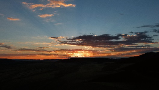
Sunset or sunrise?
Small wildlife doesn't get it's fare share of attention so I thought I would post this.
Do not disturb, that is unless you can run a lot faster than anyone else on earth.
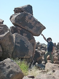
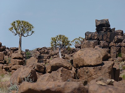
We visited the Giants Playground near the Quiver Tree Forest on our way south.
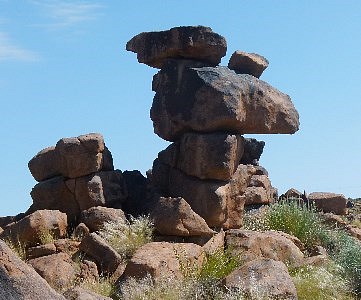
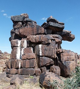
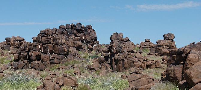
The giants had left some of their toys askew so I helped by pushing them back into place.
Some quiver trees.
When the bark drys it rolls into a tube perfect for the bushmen to keep their arrows.
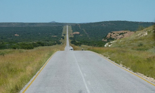
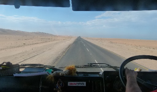
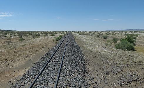
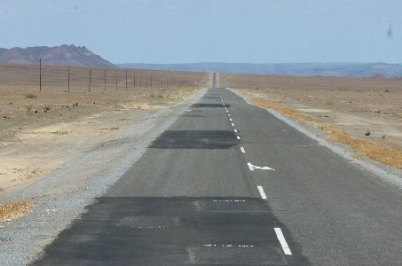
Roads and railroads demonstrate the perspective of vanishing points.
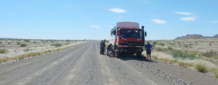
Unfortunately one of our tires suffered a puncture so some of our group decided to play soccer in the 100+ degree heat.
Sorry that was in American, they were playing football in 38+ degree heat (for those of you in the rest of the world).
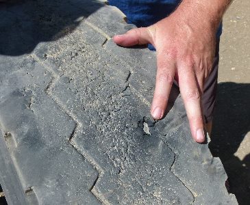
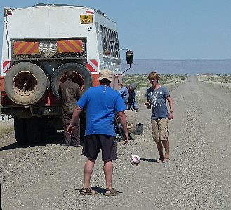
Paul, Jody and I changed the tire and we were on our way.
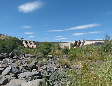
Very little water was being released from this dam.
That must be the usual state since there was no bridge just a stretch of concrete road.
In Kentucky we call that a low water bridge.
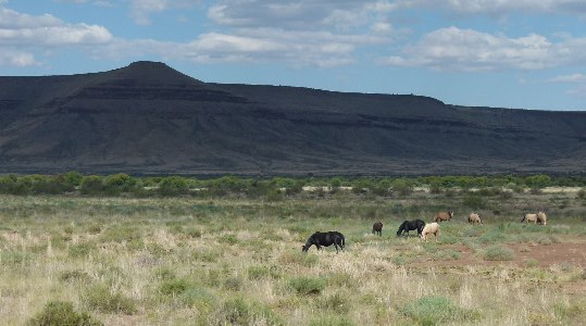
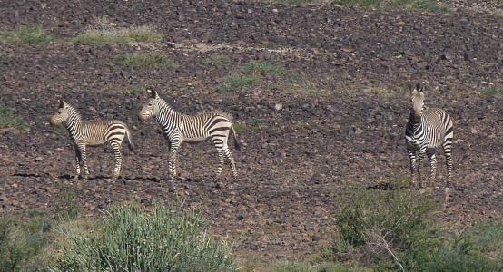
A Springbok antelope and Mountain Zebras.
We have now traveled far enough south to be in their range.
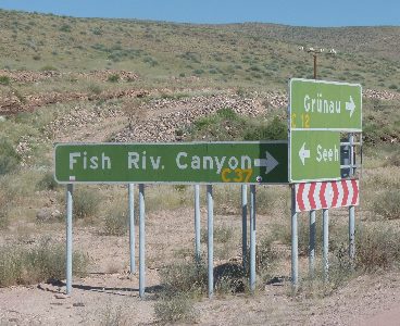
On to Fish River Canyon the largest in Africa and one of the largest in the world.
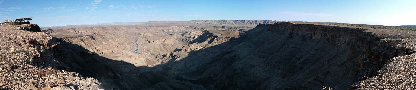
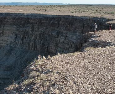
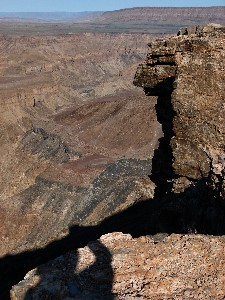
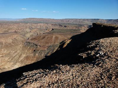
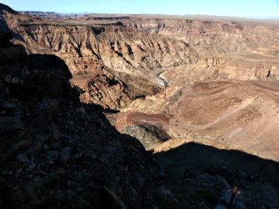
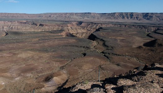
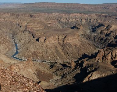
The view from the trail into the canyon.
Lots of warnings at the head of the trail that led you to believe you were taking your life in your hands if you were considering hiking it.
Not a lot of rain means there are some interesting succulents and hyrax among the rocks.
More mirages.
The Ai-Ais park spans the border between Namibia and South Africa.
Hot springs, lava, and these mounds attest to it's volcanic history.
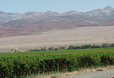
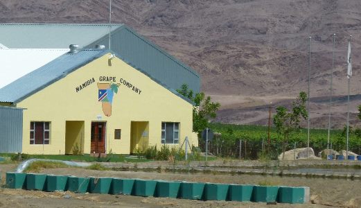
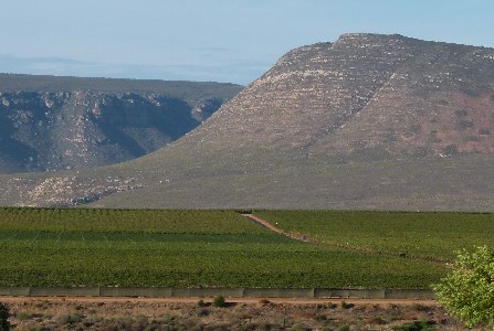
Reed huts are housing for workers tending the green fields in the distance.
The fields are vineyards.
We are getting close enough to the Orange River to have a lot of irrigation.
Without irrigation this is what the land looks like.
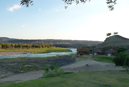
A great place to stop, a nice campsite, good food, and hot showers!
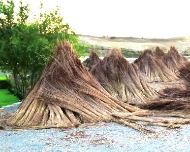
Thatch for roof repair.
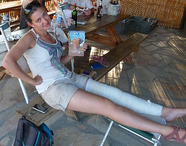
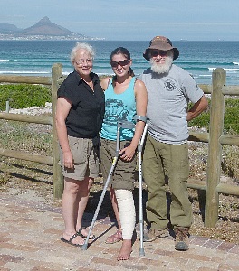
Marielle had displaced her kneecap (very painful) after we got back to camp from Fish River Canyon.
We all did what we could to help her.
Some found ice and packed it around her knee.
Others identified the analgesics that were on the truck or that some folks had brought along.
We were able to reach a doctor by phone and got his recommendation for the maximum dose she could be given of what was available.
It took several hours for the ambulance, a pickup truck, to get to the camp and then several more to take her over rough gravel roads to the nearest hospital.
The next day she was able to rejoin the group.
The title of the book that evoked this reaction was "DON'T RUN. Whatever you do."
I thought it was good advice, apparently she didn't.
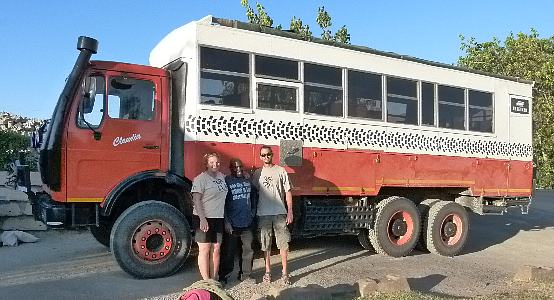
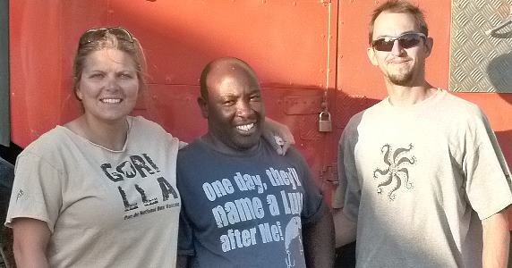
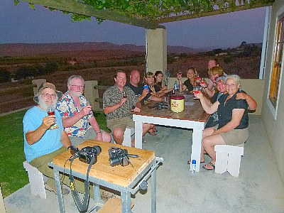
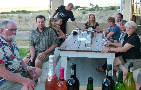
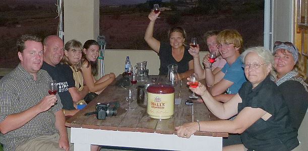
Our team leaders, guides and friends, Jody, Denford, and Paul on the last evening we were all together.
South Africa has regulations that required us to transfer to another vehicle so Paul and our truck "Claudia" were continuing on without us.
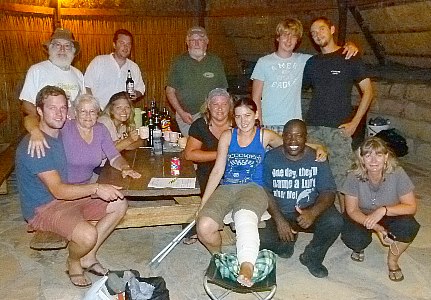
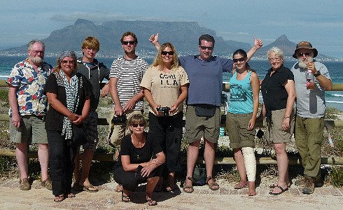
And the whole group
.
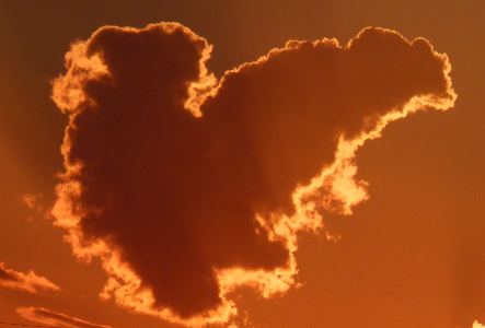
This almost heart shaped cloud was over the camp at sunset.
On into South Africa and past occasional vineyards.
And the next campsite, also nice.
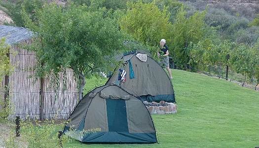
This one on a vineyard with the amenities that portends.
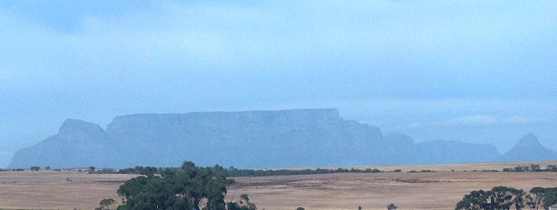
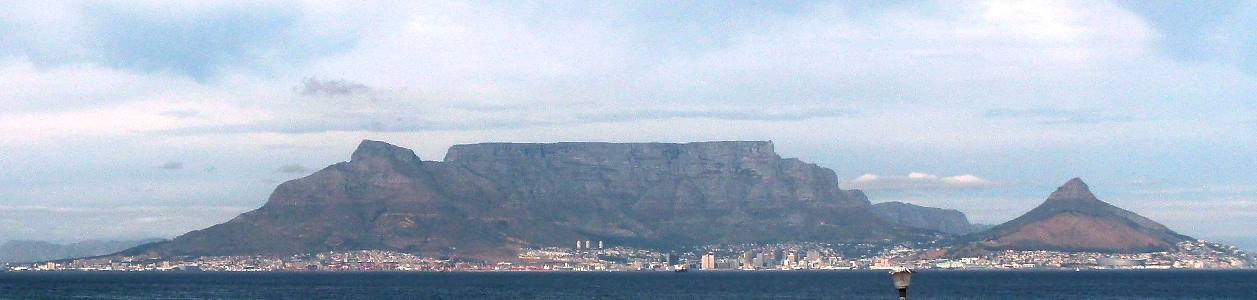
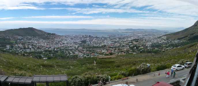
Continuing south, our first view of Capetown's Table Mountain
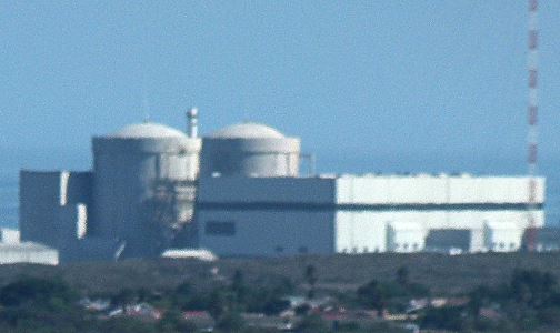
I was probably the only one who noticed the Koeberg nuclear power station.
It is the only commercial power reactor anywhere in Africa.
Here we are on the outskirts of the city.
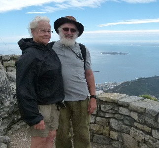
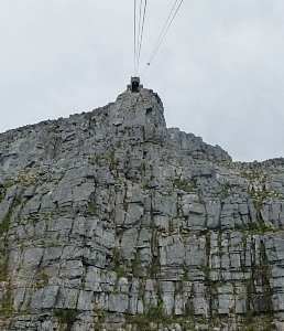
And a better view of Table mountain without us cluttering up the foreground.
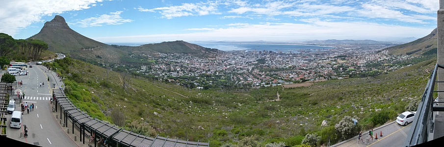
The view of the city from the base of the mountain.
The cable car ride to the top tests your acrophobic tendencies.
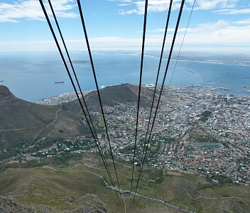
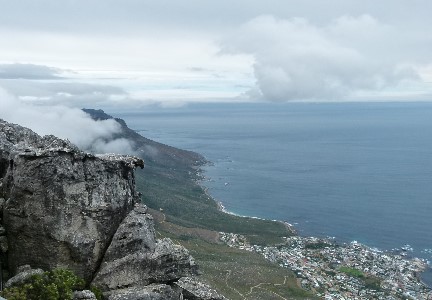
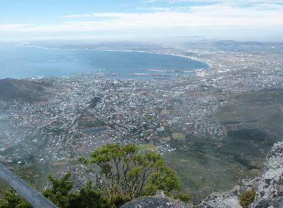
Views from the top.
The weather is a lot cooler and wetter than at the bottom so there is an isolated ecosystem here.
If you are interested in the plants and birds we saw here and other parts of Africa you can find them in the link to more of our African adventure at the bottom of this page.
A well appointed table should have a tablecloth and the wind over this high elevation provides clouds that serve nicely when viewed from below.
This is what it looks like when you are on top.
If you didn't care for the cable car ride up you can absiel to get down.
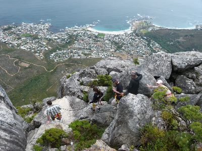
These Cape Hyrax are common just down over the edge.
It is hard to believe we are at the end of our 61 days in Africa.
We may be back some day but there is a lot more world for us to see.